A railroad stop that grew into a cow town, Holbrook is the official eastern end of Arizona’s designated Historic Route 66.
1,640 mi from Chicago
3 stories to hear
Free in the app through 2027
Allow one cookie to recognise return visits? No cross-site tracking. Privacy
About Holbrook
Holbrook was founded in 1881 or 1882, when the railroad was built, and named for Henry Randolph Holbrook, the Atlantic and Pacific Railroad’s first chief engineer. It became headquarters of the Hashknife Outfit, one of the largest cattle ranches ever, and was known as “the town too tough for women and churches.”
Most of the old Beale Wagon Road became Route 66 in 1926, and tourism began taking over the economy. The highway ran through town on Hopi Drive, past the Wigwam Motel, and on Navajo Boulevard. Interstate 40’s bypass around Holbrook opened in 1979.
On the road, Lorecast plays these on its own as you drive past each place. Here you can listen first. Each story lists its sources.
HISTORY · TOLD BY MILES · 74 SEC
The Bucket of Blood Saloon
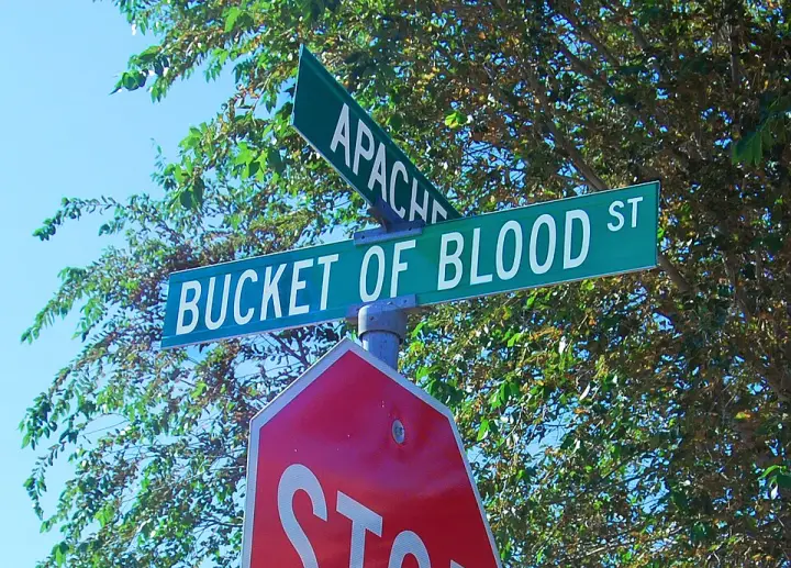
Holbrook, Arizona, was founded in the 1880s as a railroad stop, but it quickly earned a reputation as a town too tough for women and churches. One street in particular—Bucket of Blood Street—got its name from a saloon where violence was so routine that after one fight, the floor looked like a bucket of blood had been spilled. The saloon had been Terrell's Cottage Saloon before two men died in a brawl, and the name stuck. In 1886, the town lost about ten percent of its population to violence. A later incident in 1896 saw the saloon's manager, Harry Donnelly, shoot and kill two men during a card game dispute, including a barber named George C. Hiatt, shot in front of the town drug store. The barber's widow reportedly fell lifeless to the floor upon hearing the news. The building itself still stands—dressed sandstone and adobe, with a corrugated tin roof—and for a time served as town hall, court, and social center. By 1977, it was a warehouse for Navajo Community College.
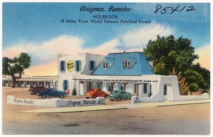
You know how most old hotels have a story? This one has a dance hall that doubled as a Masonic lodge upstairs. But the truly odd detail? During the 1930s, the west wing of the Brunswick Hotel was Holbrook's hospital. A kitchen addition was designed in the mid-1930s by Lorimore Skidmore—who later designed the motel additions. And get this: the wall around the parking area is broken by openings with decorative wagon wheels set into the spaces. Even the round window openings have inset wagon wheels. It's a hodgepodge of styles, but those wagon wheels? That's the quirky touch.
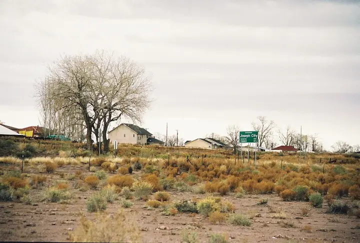
You'd think a town named Joseph City was named after some founder named Joseph, right? Well, the original name was Allen's Camp, after Captain William C. Allen. Then it became St. Joseph, after Joseph Smith. But here's the twist: the Santa Fe Railway got it confused with Saint Joseph, Missouri. So the residents voted, and it became Joseph City — just to keep the mail straight. That's a town renamed by a post office problem.
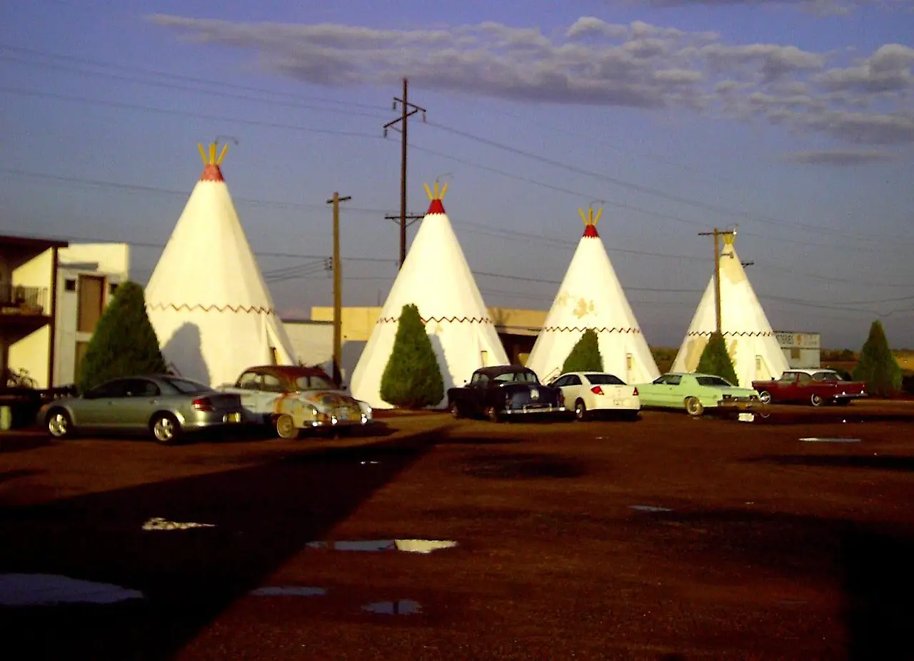
Chester Lewis built it in 1950: 15 concrete-and-steel units in the form of tipis, which the motel calls wigwams. Closed in 1974 when I-40 bypassed downtown, it was reopened by his children and is still run by the Lewis family.
On Bucket of Blood Street, off old Route 66: a sandstone-and-adobe saloon that took its name after two men died in a fight there. It later served as town hall, court and community center.
Built in 1898 in downtown Holbrook, the old courthouse is now used by the Navajo County Historical Society and is listed on the National Register of Historic Places.
Built in 1892 to replace the town’s first station, with additions in 1907 and 1912. Santa Fe passenger trains served it until 1971, and the depot was restored in 2006.
A former hotel whose adobe core, built between 1881 and 1883, is thought to be Holbrook’s oldest standing structure. Look for the wagon wheels set into its wall and round windows.
The park’s headquarters is about 26 miles east of Holbrook on I-40. Route 66 ran through the park until the highway was decommissioned in 1985, and a small grassy section of the old road is preserved there.
Route 66 ran through as Main Street. Settled in 1876 by 73 Latter-day Saint pioneers, it is the only one of four Little Colorado River colonies that remains.
Let Holbrook tell its own stories as you drive in.
Lorecast plays short stories about the places around you, hands-free. Download Route 66 before you leave and it works offline. Route 66 is free through December 31, 2027.
How these stories are made
Lorecast stories are written with AI using only the sources listed under each story, and they are narrated with synthetic voices. An automatic check traces every name and date back to those sources, and legends are told as legends. Every story on this page was also checked against its sources before we published it here. If you spot a mistake, write to hello@lorecast.net.