Arizona had 385 miles of Route 66, and a Seligman barber started the campaign that put “Historic Route 66” signs back on it.
380 mi along our route
4 towns in this guide
20 stories to hear
Allow one cookie to recognise return visits? No cross-site tracking. Privacy
Route 66 in Arizona
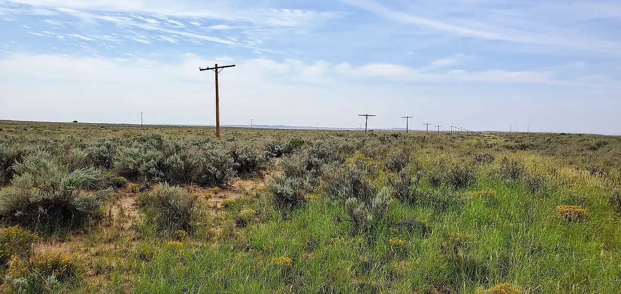
Route 66 was a U.S. highway in Arizona from 1926 to 1985 and ran 385 miles (as measured in 1940), entering from Needles over the Colorado River at Topock. From Seligman to the New Mexico line near Lupton it followed roughly the route of today’s I-40, through Flagstaff, Winslow and Holbrook.
West of Seligman the old road leaves the interstate. State Route 66 arcs northeast of I-40 through Peach Springs, Truxton, Valentine and Hackberry to Kingman, up to 16 miles from the freeway. Beyond Kingman the first road climbed the Black Mountains through Oatman and Sitgreaves Pass to Topock; a new line through Yucca replaced it in 1952.
Elsewhere most of the old highway was cut off, abandoned or rebuilt into I-40; the Oatman road, Townsend–Winona Road and business loops through Ash Fork, Williams, Winslow and Holbrook remain. Since 1987 sections have been designated Historic Route 66, a National Scenic Byway.
Stories Lorecast plays on the open road in Arizona, in the order you reach them driving west.
ON THE ROAD · TOLD BY MILES · 80 SEC
The barber who brought Route 66 back
We're crossing U.S. Route 66 across Arizona. For nearly sixty years, this was one of the most popular highways in the state — sometimes carrying over a million cars a year. It ran from Chicago to Los Angeles, but here it stretched over 380 miles from Needles, California, through Kingman and Seligman, to the New Mexico line. During the Dust Bowl, it became a lifeline for refugees — the "Okies" heading west, a journey caught in Steinbeck's The Grapes of Wrath. But when Interstate 40 came through, the old road began to fade. Bypassed towns turned quiet; some became ghost towns. By 1984, US 66 in Arizona was decommissioned. Then, in 1987, a barber in Seligman named Angel Delgadillo decided he wasn't going to let it go. He founded the first Historic Route 66 Association of Arizona, and pushed to have the stretch between Kingman and Seligman designated as Historic Route 66. It worked. That first designation sparked a movement that eventually made sections of the old road a National Scenic Byway. So as we cross this land, you're not just seeing a relic of the 20th century — you're driving a road that a small-town barber helped save.
In 1923, the Arizona Highway Department set out to upgrade the Holbrook-Lupton Highway, a road linking the New Mexico state line to Adamana. Two bridges were part of the plan: the Allentown Bridge and this one, the Sanders Bridge. Monarch Engineering Company of Denver won the contract. Construction started on May 22, 1923, and wrapped up by September 10—just over three months—at a cost of $15,005. It's a steel truss bridge, a riveted 6-panel Pratt pony truss, with two 75-foot spans and a timber deck covered in asphalt. This stretch of highway later became part of US Route 66. But in 1931, after another realignment, the Sanders Bridge was cut from the route. Today it carries local traffic on the Navajo Nation. Still standing, still in use—a quiet survivor of the road that once carried the nation.
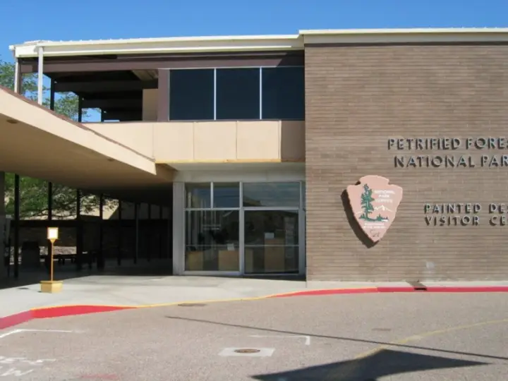
Why would the National Park Service deliberately make its own headquarters stand out from the landscape? In 1961, it did exactly that at the Painted Desert Community Complex. Richard Neutra and Robert Alexander planned the administrative center of Petrified Forest National Park as part of Mission 66, the park facilities improvement program. Work began in 1961 and was completed by 1965. The complex turned away from earlier Park Service architecture that sought to blend with the environment. Instead, it used straight manufactured materials that deliberately draw a contrast with the natural setting. The most significant building is the Painted Desert Visitor Center, designed as a severely modernist structure. It holds administrative offices, a visitor center, an auditorium, a clinic, and staff apartments. So the park service built not just a utility complex, but a visible choice: the human hand would not hide.
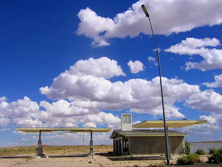
Two Guns, Arizona. A name that sounds like a showdown, and it was — just not the kind you'd expect. In the 1920s, this spot on the National Old Trails Road was called Canyon Lodge, run by a man named Earl Cundiff. He was violent, had a long arrest record, and the local sheriff called him one of the county's biggest problems. Then Harry Miller arrived — a white man who pretended to be Apache, calling himself 'Chief Crazy Thunder.' He built a fake cliff dwelling, a zoo, and a souvenir stand. The two men clashed. In 1926, Cundiff ended up dead with a gunshot to the neck. Miller claimed self-defense — said Cundiff grabbed his gun and fired first. The court believed him, given Cundiff's history. Miller left in 1930, but the name 'Two Guns' stuck. The place became a Route 66 roadside attraction, then faded after the interstate bypassed it. A fire in 1971 finished off the buildings. Today, it's a ghost town — or as one historian put it, 'a town that never was one.' Want to know more about the fake Apache and the murder that gave Two Guns its name?
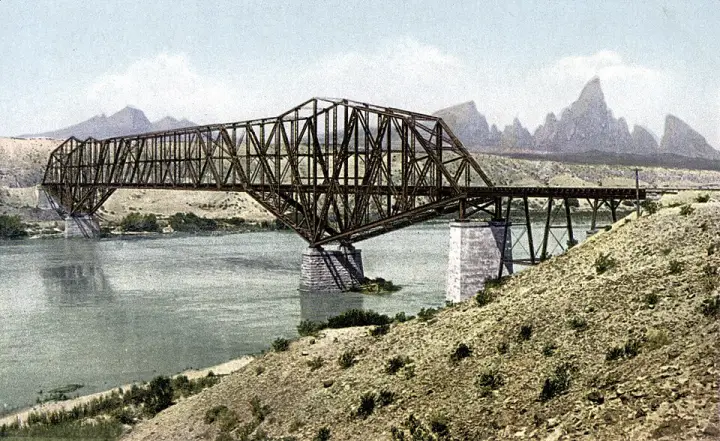
The Red Rock Bridge was a railroad bridge across the Colorado River at Topock, Arizona, built in 1890. It replaced a wooden bridge from 1883 that kept washing out in spring floods. For over fifty years, trains of the Atlantic & Pacific Railroad rumbled across it. Then, in 1945, a new railroad bridge opened, and the old bridge got a second life: from 1947 to 1966, it carried the cars of Route 66. When Interstate 40 took over, the bridge was abandoned. It stood there, a relic of two eras, until it was dismantled in 1976.
Lorecast plays short stories about the places around you, hands-free. Download Route 66 before you leave and it works offline. Route 66 is free through December 31, 2027.
How these stories are made
Lorecast stories are written with AI using only the sources listed under each story, and they are narrated with synthetic voices. An automatic check traces every name and date back to those sources, and legends are told as legends. Every story on this page was also checked against its sources before we published it here. If you spot a mistake, write to hello@lorecast.net.