Until 1937 Route 66 ran through Santa Fe; a governor’s 69-mile cutoff, opened in 1927, later sent it straight from Santa Rosa to Albuquerque.
380 mi along our route
4 towns in this guide
20 stories to hear
Allow one cookie to recognise return visits? No cross-site tracking. Privacy
Route 66 in New Mexico
Route 66 ran about 374 miles across central New Mexico, along the path Interstate 40 takes today. From the Arizona line to Grants the country is mountainous and the old road meanders around I-40; farther east it passes the Laguna Pueblo.
Until 1937 the highway took a longer route through Santa Fe, now roughly I-25 and US 84. Governor Arthur Hannett, blaming Santa Fe’s Republican establishment for his defeat, forced through a 69-mile cutoff from Santa Rosa to Albuquerque that opened on January 3, 1927; Route 66 moved onto it in 1937. Some old sections of the Santa Fe loop are barely drivable, if at all.
Much of the old road survives beside I-40 as state roads NM 117, 118, 122, 124 and 333, three I-40 business loops and frontage roads. In Albuquerque it is Central Avenue; east of the city NM 333 follows it through Tijeras Canyon to Moriarty. Near Texas, the original alignment from San Jon through Bard and Endee to Glenrio is gravel.
Stories Lorecast plays on the open road in New Mexico, in the order you reach them driving west.
HISTORY · TOLD BY MILES · 45 SEC
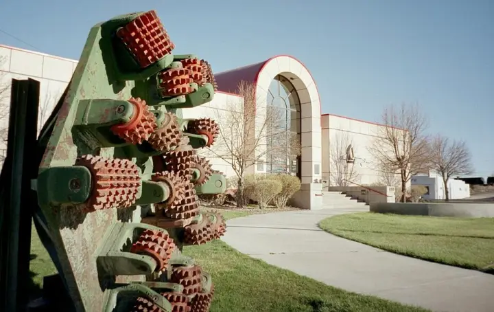
A glider museum on Route 66
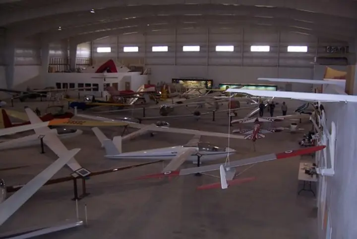
What does it take to build a museum from scratch? For George Applebay and a ten-person volunteer board, it took ten years. They conceived the US Southwest Soaring Museum in 1995, opened it in 1996 at the Moriarty airport, then moved it in 2006 to this spot on Historic Route 66. Their aim: preserve the history of gliding in the western United States, promote math and science through exhibits, and inspire schoolchildren with the wonder of flight. Today the collection holds more than 50 gliders and models. It's an affiliate of the Soaring Society of America.
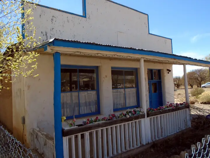
What if a souvenir shop on Route 66 sold only the real thing, back when most were full of knockoffs? That's what Abdoo Fidel did. He was a Lebanese immigrant who built a general store here in 1916. Then, in 1937, he started selling Native American curios to tourists passing through. But here's the odd part: he only sold items made at Acoma Pueblo. Most shops at the time sold replicas or mixed crafts from different tribes. Fidel stuck to one source. It lasted just four years—by 1941 he'd switched back to general goods. The building now houses an art gallery.
You might think Grants was always about uranium. But this town began as a railroad camp in the 1880s, when three Canadian brothers—Angus A. Grant among them—won a contract to build a section of the Atlantic and Pacific Railroad through here. Their camp was first called Grants Camp, then Grants Station, and finally Grants. The town grew around the tracks, shipping timber from the Zuni Mountains to Albuquerque. Then, after logging faded in the 1930s, Grants became the "carrot capital" of the United States—volcanic soils and Bluewater Reservoir made it ideal. But the real boom came when a Navajo shepherd named Paddy Martinez discovered uranium ore near Haystack Mesa. That discovery sparked a mining boom that lasted into the 1980s. When mining collapsed, the town fell into depression. Today, Grants has found a new life in tourism, with Route 66 and the El Malpais lava flows drawing visitors.
In the early 1950s, a small mining community called Anaconda appeared in Cibola County, New Mexico. It wasn't a typical town — it was built by the Anaconda Copper Company of Butte, Montana, who opened a uranium ore processing plant ten miles northwest of Grants, along Route 66. The ore came from the Jackpile Mine, then the world's largest open-pit uranium mine. Anaconda had about a hundred homes, all for supervisors and management. Residents called it "Camp" — a carryover from the original tents used when operations first started. And here's the strange part: despite the uranium plant next door, none of those homes were built with radioactive material. People assumed they were, but it's not true. The mill itself stood on the same property, and the whole place was a company town in the truest sense — built for one purpose, lived in by the people who ran it.
A trading post named after a volcano crater. That's the hook. Claude Bowlin built this place in 1954, but he'd been trading with the Navajo since 1912. The crater drew tourists; Bowlin drew them in with authentic Native American crafts. He even handed out pamphlets on how to spot fake jewelry. But here's the twist: when the interstate killed Route 66, the post closed in 1973. Bowlin died soon after. His wife sold it with one condition—it could only be used for religious purposes. So for a while, the Bluewater Bible School and Church held services in a former souvenir shop. Want to know more about the church's time here?
Lorecast plays short stories about the places around you, hands-free. Download Route 66 before you leave and it works offline. Route 66 is free through December 31, 2027.
How these stories are made
Lorecast stories are written with AI using only the sources listed under each story, and they are narrated with synthetic voices. An automatic check traces every name and date back to those sources, and legends are told as legends. Every story on this page was also checked against its sources before we published it here. If you spot a mistake, write to hello@lorecast.net.