Route 66 runs about 180 miles across the Texas Panhandle, from Texola at the Oklahoma line to the ghost town of Glenrio.
180 mi along our route
1 towns in this guide
8 stories to hear
Allow one cookie to recognise return visits? No cross-site tracking. Privacy
Route 66 in Texas
From Glenrio to Amarillo, the highway followed the older Ozark Trail, and the whole route ran close to the Rock Island railroad. Large parts stayed dirt roads until the entire Texas stretch was paved in 1938.
When Interstate 40 was built, most of the highway was upgraded in place. Outside the towns, old 66 is usually a frontage road; in bypassed towns such as Shamrock, McLean, Groom, Vega and Adrian it lives on as an I-40 business loop or spur.
Amarillo is the only major city on the Texas stretch, and Adrian bills itself as the geographic midpoint of Route 66.
Stories Lorecast plays on the open road in Texas, in the order you reach them driving west.
ON THE ROAD · TOLD BY MILES · 51 SEC
Route 66 across the Texas Panhandle
You're crossing the Texas Panhandle on old Route 66. This stretch once ran all the way from Glenrio to Texola, but when I-40 arrived, most of it became a frontage road. The towns it bypassed—like Adrian, Vega, Shamrock—were kept alive as business loops. Adrian bills itself as the geographic midpoint of Route 66. Right there, the Midpoint Café was owned by Fran Houser. Pixar's Cars took a shine to her: Flo of Flo's V-8 Diner is based on Fran Houser, who has since semi-retired. The Mia and Tia characters are based on two sisters who worked at the café. So as you cross this land, know that the real characters of Route 66 aren't all ghosts—some are forever waving from a cartoon garage.
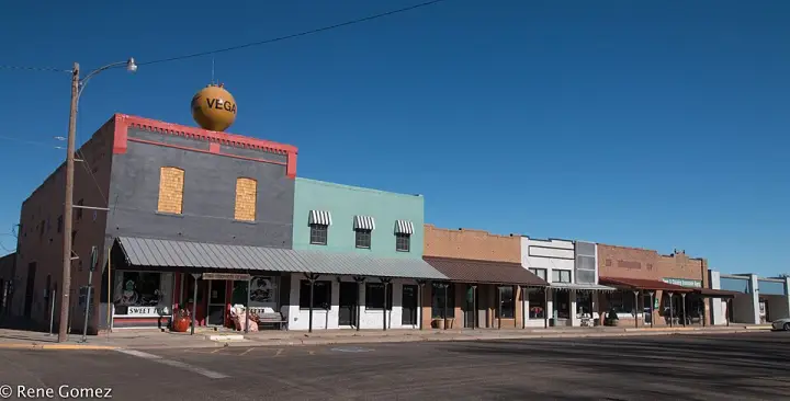
In 1879, the Texas state opened this area for homesteading. But the real story starts with one man: Whitfield. On October 17, 1899, he bought a piece of Oldham County called Section 90 for a dollar an acre. That's about $38 in today's money. Four years later, in 1903, he sold a 100-foot-wide strip of land across the county to the Choctaw, Oklahoma, and Texas Railroad — the Rock Island line. That strip became the spine of a new town. He then sold parcels on the south side to other settlers. And that's how Vega was born: not by accident, but by one man's deal with a railroad.
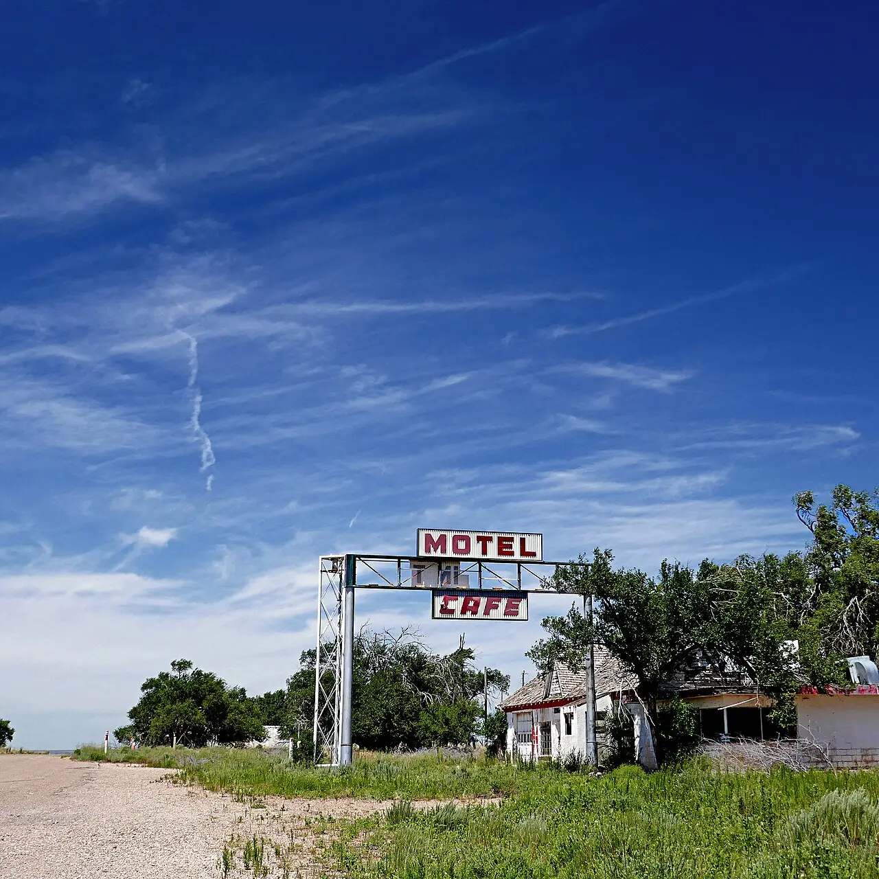
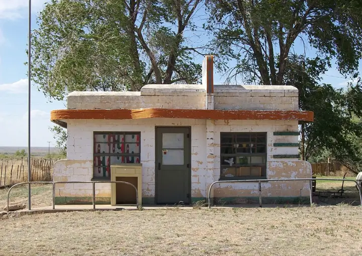
One active business. In a town that belongs to two states, that business is a cannabis dispensary. Glenrio started in 1903 as a railroad siding on the Rock Island Railroad. Before it was Glenrio, it was Rock Island. Then it took a name that comes from Scots glen and Spanish rio. It sits in Deaf Smith County, Texas, and Quay County, New Mexico, part of both at once. In 2007, the Glenrio Historic District was listed on the National Register of Historic Places. And today, the only open door is on the New Mexico side, where recreational cannabis sale and use is legal. The old railroad siding has one open door left, and it sells cannabis. The historic district is a register of what Glenrio used to be; the dispensary is what remains. No train whistle, just a two-state town with one lit business.
Lorecast plays short stories about the places around you, hands-free. Download Route 66 before you leave and it works offline. Route 66 is free through December 31, 2027.
How these stories are made
Lorecast stories are written with AI using only the sources listed under each story, and they are narrated with synthetic voices. An automatic check traces every name and date back to those sources, and legends are told as legends. Every story on this page was also checked against its sources before we published it here. If you spot a mistake, write to hello@lorecast.net.