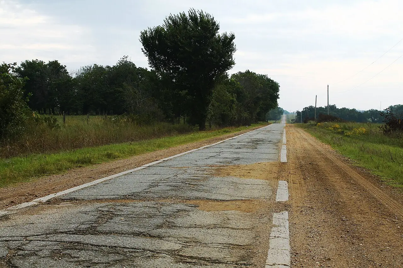
Between Oklahoma City and Kansas, old Route 66 survives as State Highway 66, the free road beside the turnpikes.
370 mi along our route
4 towns in this guide
21 stories to hear
Allow one cookie to recognise return visits? No cross-site tracking. Privacy
Route 66 in Oklahoma
Following its latest alignments, Route 66 runs about 375 miles across Oklahoma, from Texola on the Texas line through Oklahoma City and Tulsa to Quapaw near the Kansas line.
It grew out of two auto trails, the Ozark Trails and the Postal Highway, and became US 66 in late 1926. Some early stretches were only nine feet wide; near Afton and Miami these “sidewalk” sections still curve around corners instead of turning at right angles.
West of Oklahoma City, Interstate 40 has largely replaced the old road, which survives as business loops through El Reno, Clinton, Elk City and Sayre. To the east, Route 66 stayed on the old road as a free alternative to the Turner and Will Rogers turnpikes.
Stories Lorecast plays on the open road in Oklahoma, in the order you reach them driving west.
QUIRKY · TOLD BY MILES · 50 SEC
The Threatt Filling Station, Luther
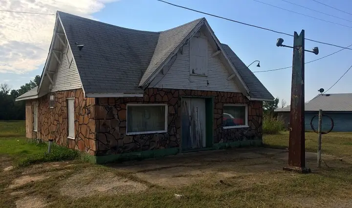
What if a gas station was also a safe house? The Threatt Filling Station, about 20 miles east of Oklahoma City, looks like a modest Craftsman bungalow — because it was built as a house-style station around 1915. Its original pumps had glass globes on top so you could see the gasoline level. But the quirky detail? During the Jim Crow era, this station became a refuge for black travelers who were restricted from most hotels and restaurants. And in 1921, after the Tulsa race massacre, the Threatt family estate — which owned the station — sheltered displaced black families fleeing the violence. So this little filling station wasn't just selling gas; it was a lifeline.
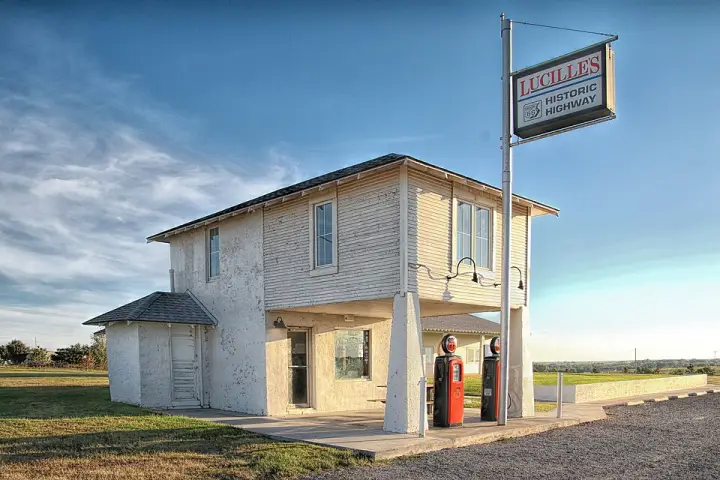
They call her the Mother of the Mother Road. According to local legend, Lucille Hamons earned that name by helping stranded motorists on Route 66 during the Great Depression. She ran the Provine Service Station just south of Hydro, Oklahoma, from 1941 until she died in 2000. Her husband Carl drove a truck, so she was alone at the station and the attached motel. People from Arkansas, Missouri, Kansas, and eastern Oklahoma were heading west to find work. Many times, she said, they'd stop completely broke. She'd feed them and give them gas in exchange for whatever they had—an old appliance, a broken-down car. Then they'd catch a bus and keep going. After the interstate bypassed the road in 1971, the motel closed, Carl and Lucille divorced, but she kept the station open for locals. It became known for selling very cold beer from an old cooler, since nearby Weatherford was dry. The last gas was pumped in 1986, and the place turned into a souvenir shop. Today, the original "Hamons Court" sign hangs in the Smithsonian. But the legend of Lucille—the woman who kept folks moving when they had nothing—that still travels the old road.
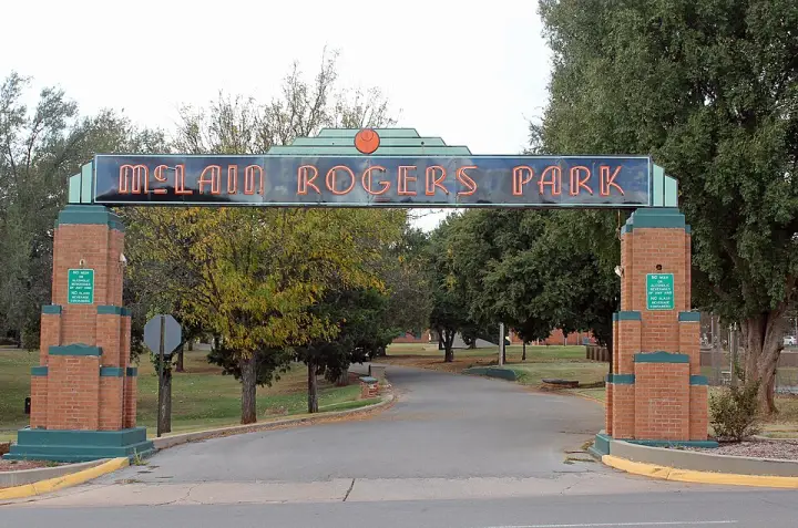
McLain Rogers Park, in Clinton, Oklahoma, was built in 1934 and following years. It was developed through multiple New Deal programs: the Federal Emergency Relief Administration, the Civil Works Administration, and the Works Progress Administration. The park has a striking entranceway, its East Gate, fronting onto Route 66. It was listed on the National Register of Historic Places in 2004, with four contributing buildings, nine contributing structures, and a contributing object.
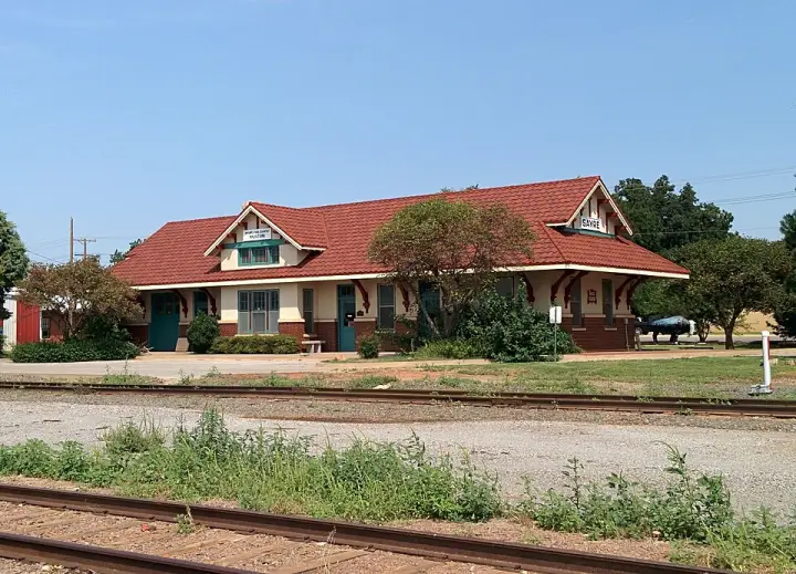
In 1927, the Chicago, Rock Island and Pacific Railroad built this depot in Sayre, Oklahoma, to replace the original 1901 station that sat outside town. The new building was just two blocks north of downtown, designed in Italian Renaissance Revival style with red brick, stucco, and a red tile roof. It was built to handle the increased traffic the line had gained in the early 1920s and to compete with the newly designated U.S. highways. But by the 1930s, railroad traffic declined as travelers and freight shifted to highways. The railroad gave the station to the City of Sayre in 1972 after ending passenger service. In the late 1980s, the Shortgrass Country Museum moved in, and the depot was added to the National Register of Historic Places in 2000. Today, the exterior remains largely intact, while the interior has been adapted for museum use.
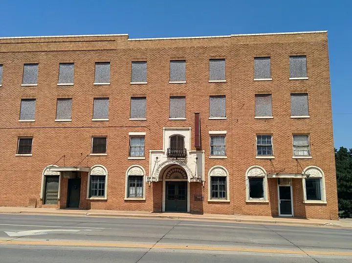
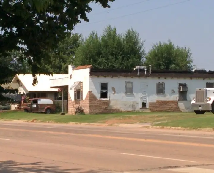
The West Winds Motel in Erick, Oklahoma, opened in the mid-1940s, when Route 66 was still the main road and tourism drove the town's economy. It was one of several motels in town, but it had a twist: each unit had its own garage space in front of the entrance. That style was common in the 1930s and 1940s but fell out of favor later. The motel's layout was a classic motor court — two lodging buildings and an office forming a U around a central courtyard. The buildings had Mission Revival design with stucco walls and red metal roofs meant to look like tile. It was added to the National Register of Historic Places in 2004.
Lorecast plays short stories about the places around you, hands-free. Download Route 66 before you leave and it works offline. Route 66 is free through December 31, 2027.
How these stories are made
Lorecast stories are written with AI using only the sources listed under each story, and they are narrated with synthetic voices. An automatic check traces every name and date back to those sources, and legends are told as legends. Every story on this page was also checked against its sources before we published it here. If you spot a mistake, write to hello@lorecast.net.